Meander
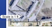
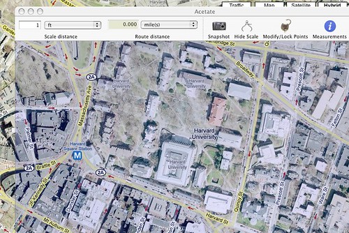
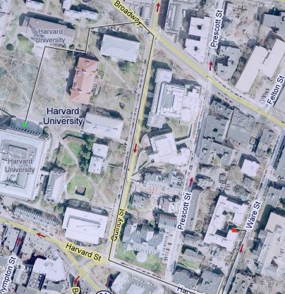
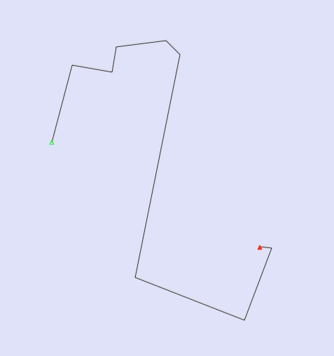
Remember back in the day when you had to BUY mapping software? I can. I plunked down $30 for some mediocre software that was out of date in a year. Then Mapquest saved us. It brought forward free software to find out where we could go and how to get there. Google has since elevated online maps to an impressive level. There is still a major issue with creating waypoints and paths. Recently I came across a great little app that does this one thing really well. It’s called Meander. The principle is simple. It creates a transparent window that hovers over any map window, be it Google, Mapquest, or Microsoft Live. It can even be a PDF of a map. You set the scale of the map as shown, then draw your path over top of your map. It’s that simple.
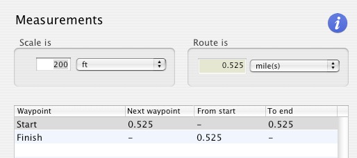
What Meander does is create a line drawing (which can be seen with a white background) and measures that line. It’s so simple, it’s amazing.
I find it pretty handy for all kinds of mapping. Scheduling dog walks, bike paths and even some crazy road trips.